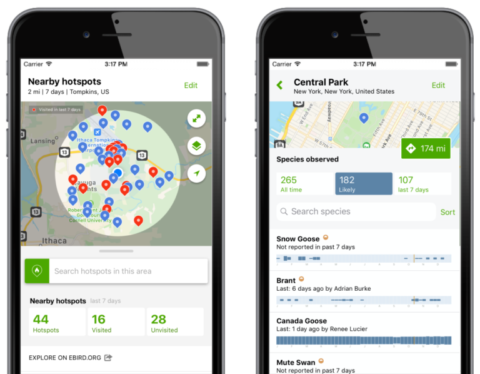
Northeast Bird Habitat Conservation Initiative Mapping Tool
The Northeast Bird Habitat Conservation Initiative (NBHCI) team has created an easy to use, interactive mapping tool designed to help Regional Conservation Partnerships, land trusts, and practitioners use birds as tools to support activities such as habitat management plan and stewardship development, land prioritization and acquisition strategies, and landowner and community engagement, all through the lens of bird conservation.
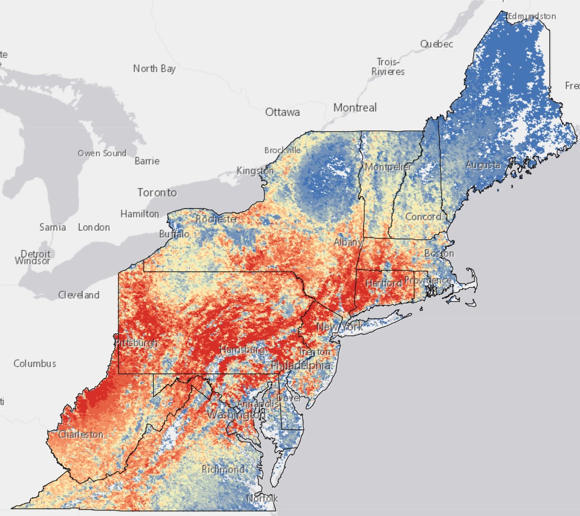
This product showcases eBird Status & Trends (S&T) breeding season data for 43 bird species in five habitat types: forest, grassland, shrub/scrub and young forest, wetland/marsh, and coastal/shoreline, and projects these data as GIS layers. The target species were selected based on their high priority status or climate vulnerability. The map includes strategic land conservation data layers, such as The Nature Conservancy’s (TNC) Resilient and Connected Landscapes Climate data, TNC Protected Open Spaces, and Audubon Important Bird Areas that can be overlaid with eBird data to help inform land planning and bird habitat conservation efforts. A user can also download the S&T data to add into preexisting GIS and land prioritization projects to help support the best use of limited conservation dollars.
We wish to showcase ways in which users can interact with eBird modeled data combined with strategic land conservation data layers to look at high value habitats to inform land planning, bird habitat conservation efforts, and connections with communities through birding, increasing both local and regional conservation impact. If you have used this in your work, we would love to feature you on our site!