Bird Data & Tools
Bird data and tools can help land trusts and conservation organizations amplify land protection efforts, capture critical data for science, engage with the birding community, and support land stewardship. Explore the pages below for more information about using eBird, eBird modeled data, Merlin Bird ID, how land trusts are using eBird, and priority bird mapping tools developed by the Land Trust Bird Conservation Initiative.
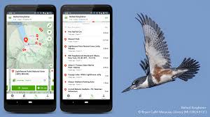
 Using eBird
eBird, a participatory science project operated by the Cornell Lab, is an important tool available to land trusts for determining the presence/absence of bird species, monitoring populations, storing and visualizing data, and engaging the bird watching community.
- eBird Modeled Data
The eBird Science team uses state-of-the-art statistical models and machine learning to build visualizations and tools to help decision makers, scientists, and birders alike to better understand migration, abundance patterns, range boundaries, and much more.
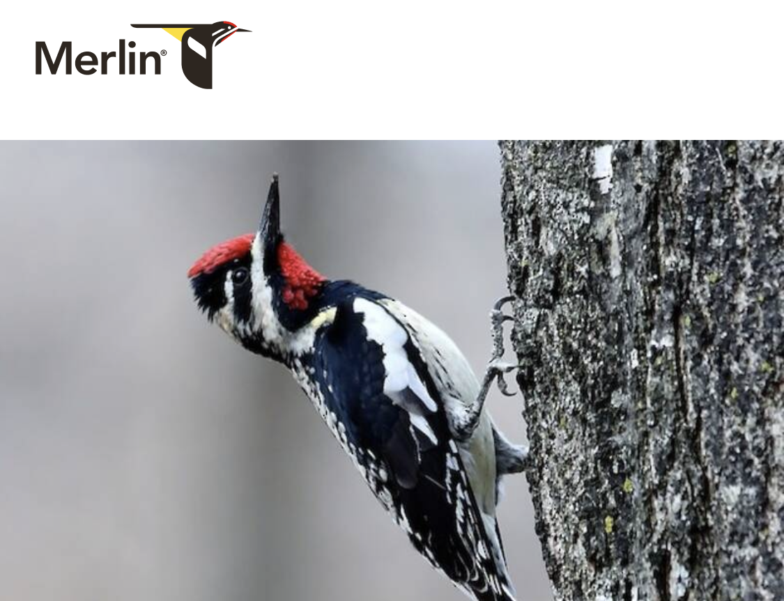
- Merlin Bird ID
Merlin Bird ID helps you identify birds you see and hear. Merlin is unlike any other bird app—it’s powered by eBird, the world’s largest database of bird sightings, sounds, and photos. Merlin offers four different ways to identify birds.
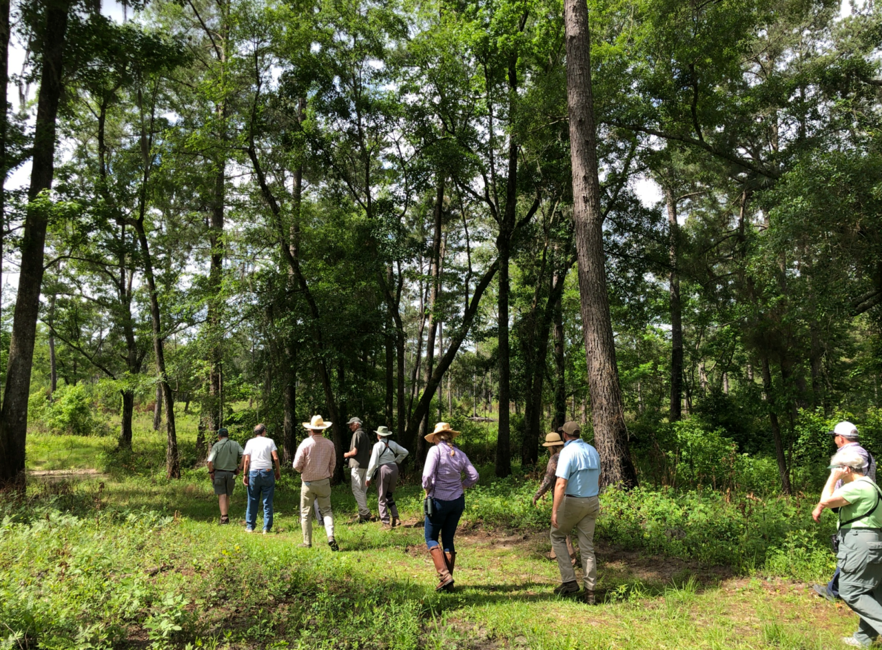
- Land Trusts Using eBird
Land trusts from all over the country are utilizing eBird for activities such as community engagement, bird monitoring, community science, assessment and evaluation of land management, land prioritization, and decision making across their service areas.
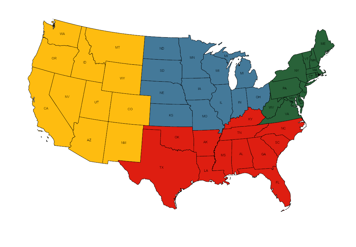
- Priority Breeding Bird Mapping Tool
Four regional interactive mapping tools that display eBird Status and Trends data with strategic land conservation data layers to facilitate strategic land conservation, inform habitat management plans, and help guide landowner outreach and engagement efforts, all through the lens of bird conservation.

Sign up to receive our eNews and stay connected
The Land Trust Bird Conservation Initiative will send you updates about funding opportunities and ways to work with partners to protect birds and further your land conservation goals. We’ll highlight resources to assist with bird conservation on private lands, showcase tools and data visualizations to assist with planning and stewardship, and share success stories from the field.