Case Studies
Northeast Priority Breeding Bird Mapping Tool
-
Kent Land Trust (KLT)
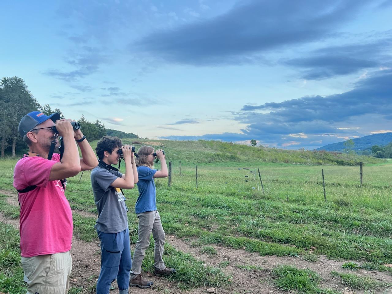
When a 62-acre property in South Kent came under consideration for protection, KLT knew relatively little about it beyond soil types. The Northeast Mapping Tool helped KLT predict what bird species might be found on the property, which included six birds that are both Species of Greatest Conservation Need and state-listed birds of concern. That insight helped KLT evaluate the property against its project selection criteria and think ahead about stewardship needs. It also strengthened the case for public investment; in fact, KLT secured a state award covering 65% of the purchase price, partly by demonstrating that the habitat could potentially support state-listed birds. The Mapping Tool also guided initial field scouting, giving staff a target list of species to watch for during site visits.
Learn more about Kent Land Trust’s bird conservation efforts.
-

New River Land Trust (NRLT)
To help advance understanding of bird species occurrence on conserved lands, NRLT compared data available through the Northeast Mapping Tool with data collected through bird surveys on working lands in the Catawba Valley of Virginia. Finding good alignment between the two data sources, NRLT now uses the Mapping Tool to get landowners excited about bird conservation on their properties.
-
The Bobolink Project
The Bobolink Project worked with Sudbury Valley Trustees and Metrowest Conservation Alliance to identify hayfields suitable for grassland birds in Massachusetts. The partners used data downloaded from the Northeast Mapping Tool to create a map of high-priority grassland bird habitats, which sparked a collaboration with a class at Tufts University to develop recommendations for bird-friendly management of the hayfields at Tufts’ School of Veterinary Medicine.
-
Audubon Vermont
Audubon Vermont uses the Northeast Mapping Tool to help prioritize landowner engagement for bird conservation projects. Overlaying data layers in the Northeast Mapping Tool with a map of conserved lands helps Audubon Vermont identify parcels that may help connect high-quality bird habitats, which helps staff target outreach for bird-friendly forest management to landowners in these areas.
-
Lakes Region Conservation Trust (LRCT)
Lakes Region Conservation Trust (LRCT) uses bird data downloaded from the Northeast Mapping Tool as a GIS layer when considering the acquisition of land conservation projects, checking for focal bird species on parcels of interest. LRCT uses the bird data in conjunction with the New Hampshire Fish and Game wildlife habitat ranking, NRCS forestry and agriculture soils information, climate change resiliency and adaptation data, and other spatial data when prioritizing land acquisition projects.