StoryMap Collection
Browse multimedia stories produced by the Land Trust Bird Conservation Initiative, small grant awardees, and members of Conservation Collaboratives that describe bird conservation projects and partnerships across the United States. These ArcGIS StoryMaps may help prompt new ideas about how to manage habitats for birds, build connections with other organizations, engage local birders, and support broader community learning.
-
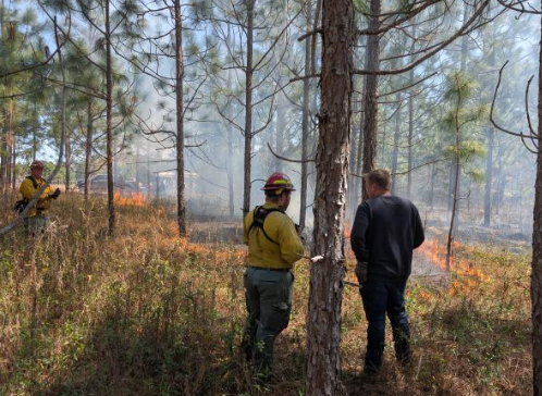
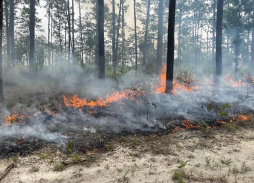
Burning for Birds
Georgia Conservancy
Provides an overview of the Burning for Birds Collaborative, a multi-state partnership between land trusts and conservation organizations in the Southeast U.S.
September 2025
-

Preserving Corrales
New Mexico Land Conservancy
Explains the bird viewing trail created across conserved farms in Corrales, New Mexico, with the support of small grant funds.
December 2024
-
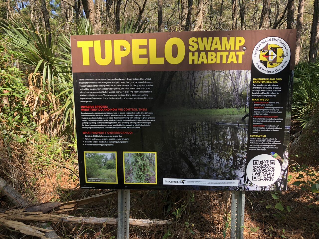
Dauphin Island Bird Sanctuaries
Land Trust Bird Conservation Initiative
Describes the bird-friendly actions supported by two small grants on Dauphin Island, a barrier island in Alabama that provides habitat for migratory birds.
October 2023
-
Northeast (NBHCI) Mapping Tool
Highstead
Explains how to use the Northeast U.S. Priority Breeding Bird (NBHCI) Mapping Tool, an interactive tool that showcases eBird Status & Trends (S&T) breeding season data in 13 states for 43 bird species in five habitat types.
December 2023
-
Burning for Birds
Alachua Conservation Trust & Tall Timbers Research Station and Land Conservancy
Provides background information about the Burning for Birds Collaborative and features examples of how partners are engaging with private landowners in the Southeast U.S.
December 2023