Aiken Land Conservancy
“We use eBird on a routine basis when working thorough land protection projects,” says Peter Kleinhenz, Executive Director of Aiken Land Conservancy (ALC) in South Carolina. Kleinhenz and his staff use eBird to support many different land trust activities, from the prioritization of properties for conservation easements to measuring the impacts of habitat management activities on conserved lands.
Even before setting foot on a potential project site, Kleinhenz uses eBird to build an early picture of local bird communities. This first-pass analysis helps inform site visits with a clearer ecological context. By exploring recent observations in the surrounding area, he can anticipate which habitats and species are likely present and arrive at site visits better prepared to evaluate conservation values and opportunities.
The best way I have found to capture the conservation value of land in terms of species diversity is with birds.
Peter Kleinhenz
ALC staff use eBird to document bird observations when visiting potential conservation projects—building on early insights gleaned from the platform—citing these checklists in conservation assessments and highlighting any species listed in South Carolina’s State Wildlife Action Plan (SWAP). Kleinhenz says this information helps solidify the value of protecting certain properties with ALC’s board—and that’s an essential step in the land protection process.
Using eBird to Support Land Protection Process
- Evaluating potential projects before site visits
- Informing conservation assessment
- Contributing to development of conservation easement
- Justifying conservation value of protected properties to IRS
- Creating baseline documentation
- Applying for funding to support projects
- Assessing habitat management
- Contributing to broad-scale conservation efforts and filling data gaps on private lands
Conservation assessments, which summarize the conservation values of potential projects, are shared with ALC’s board of directors to inform their decision about whether or not to move forward with and put limited conservation dollars toward land protection projects. Once ALC’s board decides to take on a land protection project, ALC staff use eBird to document bird sightings during follow-up site visits, building on data collected during the initial assessment as the conservation easement is being developed with landowners.
Conservation easements are voluntary—but legally binding—documents between landowners and land trusts that permanently limit certain uses of properties to protect conservation values. Conservation easements run with the land forever, outlining restrictions and reserved rights, stewardship and enforcement responsibilities, and the conservation purpose of the property. Landowners, via land trusts, must rationalize the conservation value of their protected properties to the IRS in order to claim federal tax benefits, and one way ALC supports this is by including SWAP-listed bird species recorded in eBird in conservation easements. This practice provides another layer of justification for projects, says Kleinhenz.
Once a property has been protected with a conservation easement, ALC creates a baseline documentation report for the project, which is a permanent record describing the condition of a property at the time the conservation easement is granted. The baseline document provides a summary of conservation values protected and an overview of existing conditions, serving as the foundation for future monitoring and stewardship. ALC staff include eBird data in baseline documents for newly conserved properties, archiving bird observations for reference and comparison in future years.
Data in eBird is also referenced when ALC is applying for outside funding to support land protection projects. Yet again, this bird data helps ALC describe the conservation value of projects—in this case, to potential donors or grantors who are essential for ALC’s success as a land trust.

As an example, Kleinhenz recalls a potential project site where he observed a small population of Bachman’s Sparrow, a species of high conservation concern in South Carolina. After the site visit, he consulted eBird to see where the species had been recorded in Aiken County, finding that Bachman’s Sparrows were rare in this corner of a well-birded county the size of Rhode Island. Citing this in a funding proposal helped ALC make the case to a donor that the project property was unique and worthy of protection.
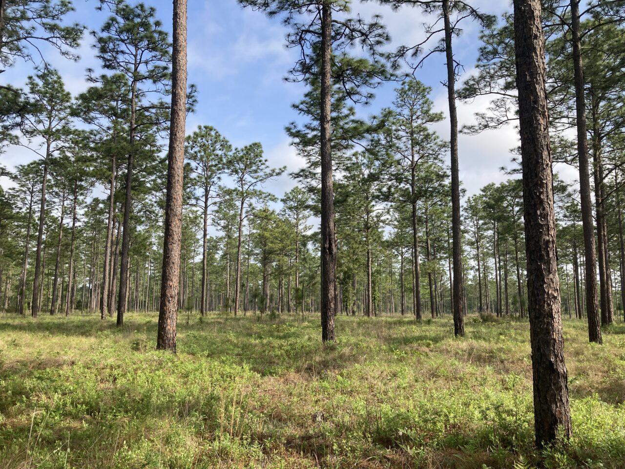
Once easements are funded and permanently in place, ALC is also “using birds as a litmus test for habitat management,” says Kleinhenz. In longleaf pine habitats of Aiken County, management often consists of prescribed fire to limit shrubby understory growth and encourage the growth of grasses. A partner in the Land Trust Bird Conservation Initiative’s Southeast Burning for Birds Collaborative, ALC facilitates several prescribed burns each year in these longleaf pine habitats on conserved properties.
When ALC staff visits properties after prescribed burns, they are watching and listening for indicator bird species, such as Northern Bobwhite, to evaluate and assess if the management prescription is having the desired effect and a meaningful impact on target species. Once again, observations are logged in eBird and referenced as justification for the land protection and habitat management work that ALC is undertaking.

Kleinhenz notes that eBird has been used on every project ALC has taken on during his three years as executive director. He sees eBird as an organized and efficient way to record bird observations on project properties, with the added benefit that the data is contributing to broad-scale conservation efforts and filling data gaps on private lands.
I can go out on site visits with a notebook or I can use eBird—but when I use eBird, my observations are serving a greater conservation purpose.
Peter Kleinhenz
He simply does not see a reason not to use eBird, noting that he always lets landowners know that eBird data collected at their sites will be publicly shared. He has never had a landowner ask him not to share eBird data, but recognizes that landowners may have privacy concerns and is familiar with methods for protecting data submitted to eBird.
It should be noted that Kleinhenz is an avid birder even when he’s not at work. For other land trusts without experienced birders on staff, he recommends starting with the Merlin Bird ID app. Learn how to identify a few SWAP-listed bird species in your state, he says, using eBird to record what you see and hear on site visits. Once land trusts begin using bird-focused tools such as Merlin and eBird, Kleinhenz expects they will discover multiple ways to use this information to advance their conservation goals, as ALC has.