
eBird Hotspots
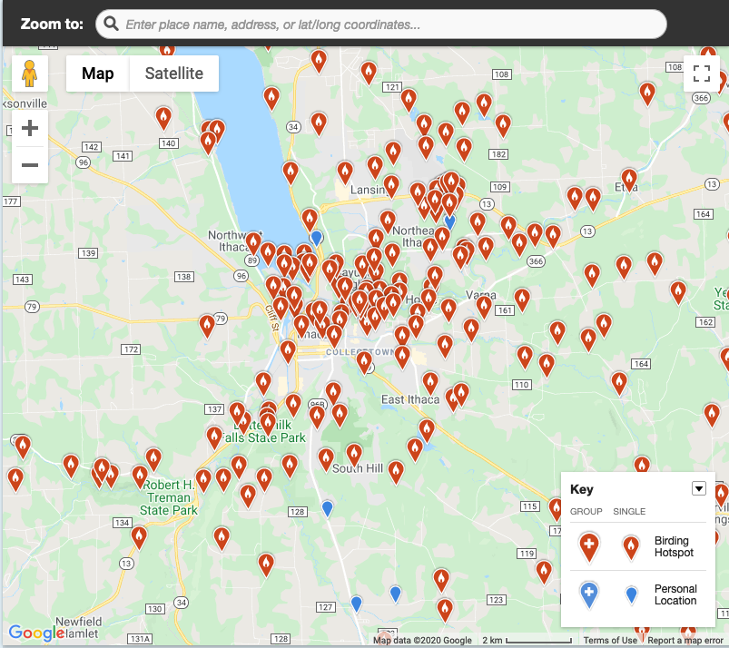
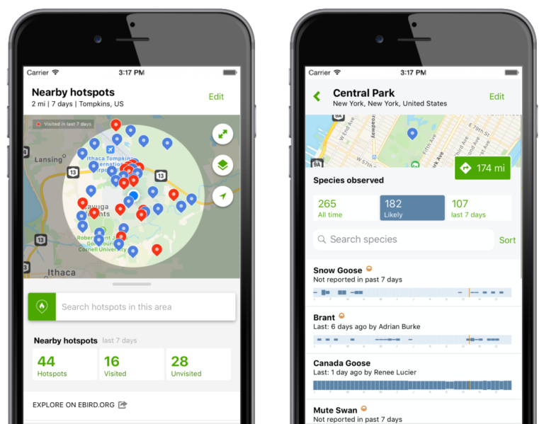
Hotspots are public birding locations created by eBird users, where multiple observers can submit sightings to a shared site. This results in a collective dataset that is available through eBird’s “Explore” tools. On protected properties, hotspots provide a way to engage local birders while also collecting useful data to help guide habitat management decisions. Explore the pages below to learn more about using, creating, and contributing information to hotspots.
 About eBird Hotspots
Hotspots are public birding locations created by eBird users. Hotspots allow multiple birders to enter data into the same shared location, creating aggregated results available through eBird’s “Explore” tools.
- Land Trusts Using eBird Hotspots
Hotspots are a great tool to engage local birders on protected properties while simultaneously gathering important bird data that can help inform habitat management decisions.
- Creating a New eBird Hotspot
Know of a birding location that meets the criteria for a good Hotspot? Follow the steps on this page to nominate a new eBird Hotspot.
- Download eBird Data
eBird has open data access products available in several formats that can be helpful in your strategic conservation planning, scientific modeling, and analyzing data from your land trust hotspots.


Sign up to receive our eNews and stay connected
The Land Trust Bird Conservation Initiative will send you updates about funding opportunities and ways to work with partners to protect birds and further your land conservation goals. We’ll highlight resources to assist with bird conservation on private lands, showcase tools and data visualizations to assist with planning and stewardship, and share success stories from the field.