Land Prioritization
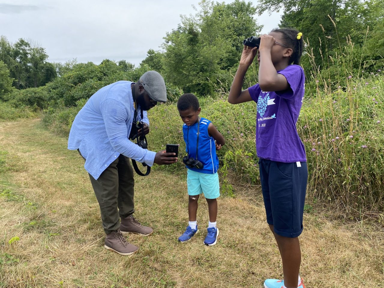
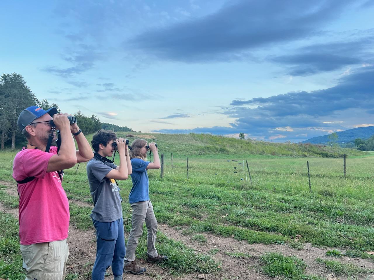
Using eBird data can be a great way to prioritize the use of limited conservation dollars on the landscape. Land trusts can overlay eBird data with other strategic conservation mapping layers to discover which parcels have the highest stewardship potential and determine what species are important on land trust holdings.
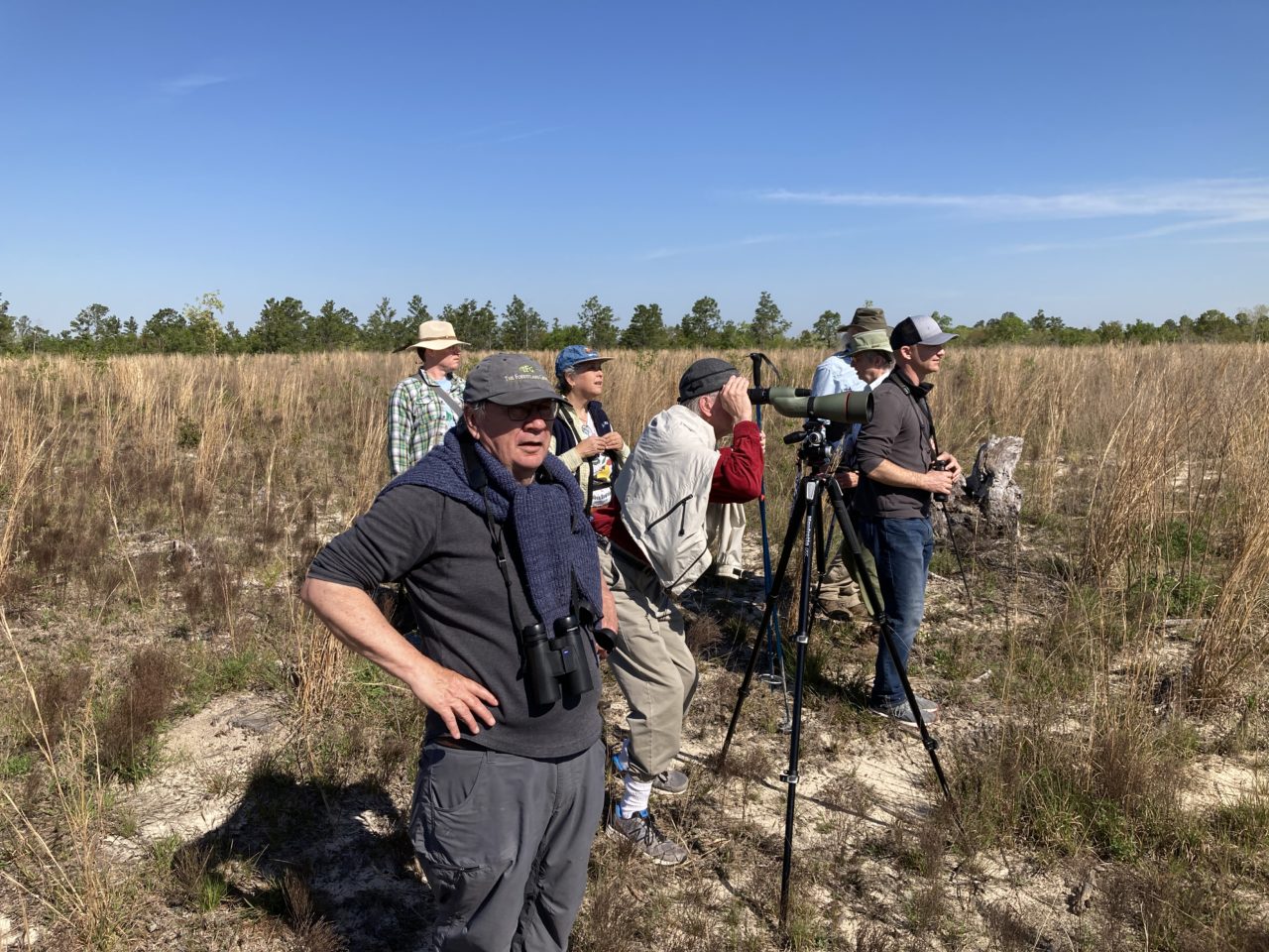
New River Land Trust (NRLT) was awarded a small grant in 2023, which helped the organization understand bird species occurrence on two large farm properties protected by conservation easements. Through the grant, NRLT volunteers surveyed birds on the properties during the breeding season. NRLT staff then compared the bird data collected by their volunteers to the data available through the Northeast Bird Habitat Conservation Initiative (NBHCI) Mapping Tool, an interactive decision support tool that displays modeled eBird Status & Trends data in 13 states for 43 bird species. After comparing the NBHCI Mapping Tool data with bird observation data collected in the field, NRLT found good alignment between the two data sources and feels comfortable referring to NBHCI data and pointing landowners to it, says Grayson Davie, NRLT’s Conservation Coordinator. “We now have another set of data that we can use to get people interested in conservation and land protection,” he says. In the past, NRLT’s conservation value assessments, which are used to prioritize land protection and acquisition projects, have not included bird data; now, NRLT is making bird data part of their prioritization process and including it in conversations with landowners. Learn more about New River Land Trust’s project.

Sierra Foothill Conservancy (SFC) is using eBird Raw Data (EBD) to inform their Working Lands Conservation Strategy. SFC writes, “eBird is an ideal tool for understanding bird species occurrences, and particularly valuable in areas such as the Sierra foothills and San Joaquin Valley where private property is more common and species survey data can be challenging to source. eBird can also provide valuable public recreation co-benefits information based on the number of users reporting data in a particular area.” Moreover, EBD provides the most comprehensive data on bird species occurrences across a range of spatial scales. SFC incorporated EBD from their service area counties (Mariposa, Madera, Merced, and Fresno) into their GIS land prioritization mapping tool. Their Landscapes Most Impactful for Co-Benefits category now includes a layer called Avian Occurrences, which allows a user to view the point count data of species within each service county. Five questions were developed to support the evaluation of avian occurrences and diversity onsite and/or within proximity to the subject property. The Working Lands Conservation Strategy “serves as a tangible tool for SFC’s Land Conservation team to assist in the standardized identification and prioritization of prospective agricultural conservation easements that most embody and provide benefit to the Sierra Nevada foothill region.” Learn more about Sierra Foothill Conservancy’s work.
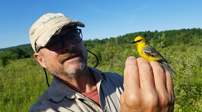
Audubon Vermont and several western Vermont land trusts initiated the Golden Chain Partnership, a collaborative partnership that provides technical support to land trusts and other organizations in Vermont to help identify land parcels best suited to support young forest birds, such as the Golden-winged Warbler, and prioritize these lands for protection and effective habitat management. “The partnership will help build capacity and recognition for the vital conservation work of land trusts in this region,” says Audubon Vermont’s Mark LaBarr. Audubon worked with a graduate student to overlay land trust properties and parcel data with an eBird-informed Golden-winged Warbler habitat model to help land trusts better target landowners for outreach and management efforts. The mapping product is helping Audubon identify and visualize priority parcels in the region for protection and habitat enhancement, leading to a “chain” of conserved and improved young forest habitat, stretching from West Haven, north to Middlebury, and up to Charlotte and Hinesburg, Vermont. Learn more about Audubon Vermont’s Golden Chain Partnership.
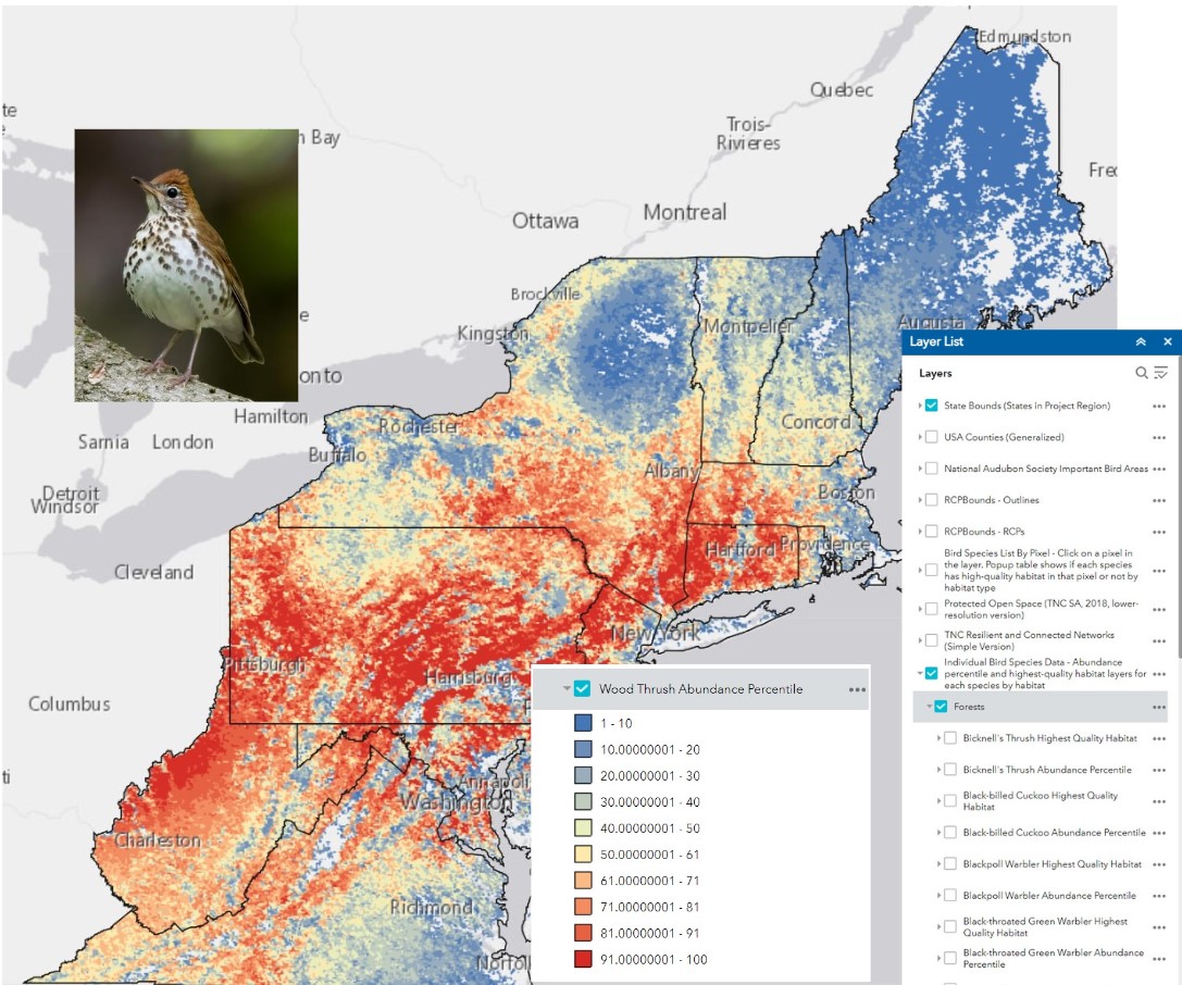
The Northeast U.S. Priority Breeding Bird (NBHCI) Mapping Tool displays eBird Status and Trends (S&T) breeding season abundance data that has been manipulated to identify areas of highest habitat quality for 43 avian species in five habitat types: forest, grassland, shrub/scrub and young forest, wetland/marsh, and coastal/shoreline. This tool has the potential to help land trusts use birds as tools to guide activities such as finding the highest value habitats to inform which lands to protect for conservation so birds become a part of the equation when deciding where to use limited conservation dollars, determining which of the target species are important on land holdings and in service areas, to support decisions about where to best manage and restore habitat, and how to use data to generate excitement from within communities and thus increase interest, engagement, and fundraising dollars. Learn more about the NBHCI Mapping Tool.