Benefits of eBird
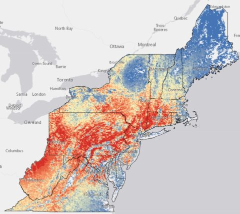
Store monitoring information for your land trust
Anyone can enter bird lists to monitor bird species in your area or to map overall abundance of a species on your lands over time. eBird is free and data storage is unlimited, meaning your data will always be available to you whenever needed. All bird observations are useful, even of common species, since they help to fill in seasonal information for a site.
Follow the simple steps here to input your first bird sighting into eBird.
Increase outreach
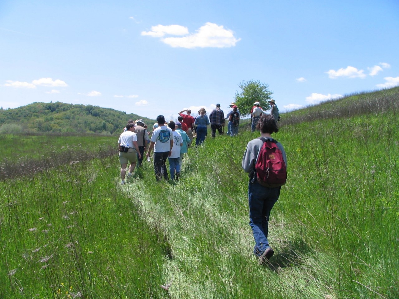
Data are shared with all eBird users, and ultimately is used to contribute to conservation science. eBird gives you a direct connection to citizen scientists in your community, state, and all over the world, which may lead to more volunteers, more supporters, and potentially more donors. eBird links can be embedded in your website, the bar charts or Hotspot summaries can be printed and posted, and your communication channels can help expose your members and supporters to eBird.
Have eBirders enter information about your site
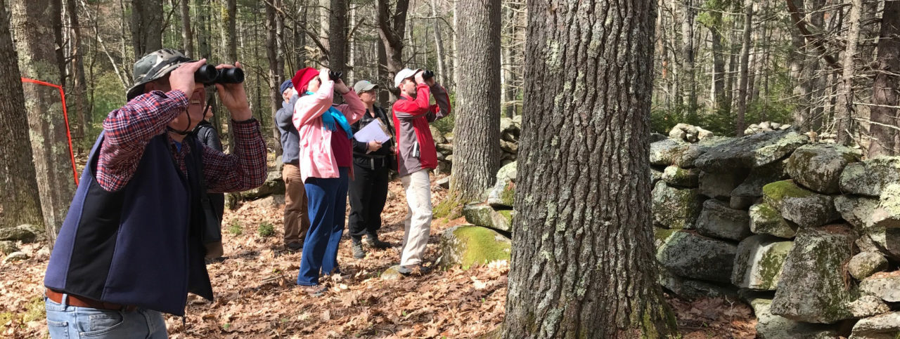
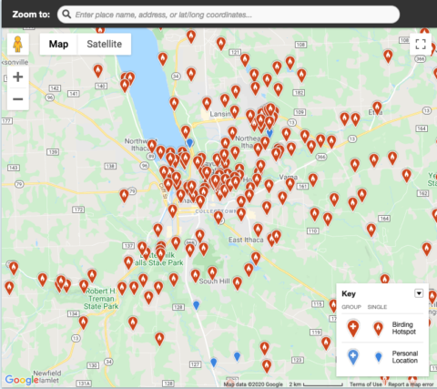
Creating eBird Hotspots at your sites is an excellent way to get more people, specifically birders, excited and out birding on your properties. The great thing about eBird is you can put birders to work for you – just be sure to register your lands as Hotspots so people know where to bird. Reach out to birders that visit your property and post a flier in an information kiosk or on your website so birders know that eBird is used on the lands they love.
Help write proposals and receive funding
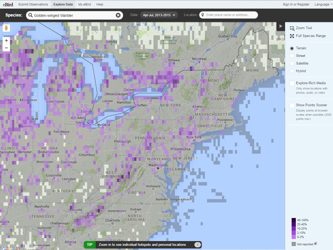
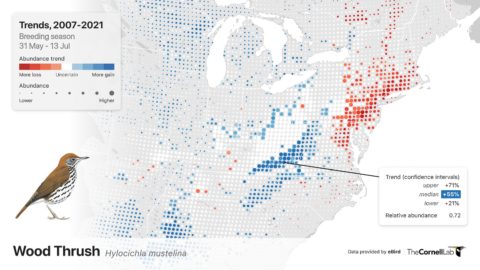
Bird data are extremely useful for writing grant proposals, for conservation easement justifications, or for engaging a potential donor. You can view, explore, and download data to use for your proposals and fundraising here.
If you want to learn about birds at a specific location, click here.
Facilitate decision-making with data
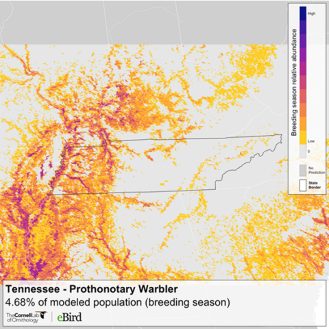
Bird data can contribute significantly to the decision process when considering land for protection, investing in an acquisition, or crafting an easement. You can also use data to determine your priority areas in a strategic conservation plan.
You can view, explore, and download data to use for your decision-making here.


