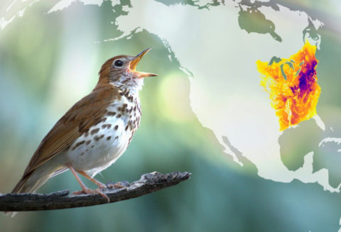
The existing network of bird conservation partners and resources provides an excellent opportunity for land trusts to engage in conservation at different scales. This Resource Directory is designed especially for land trusts: bringing many of the resources together in one place and helping navigate the resources to find what is pertinent to land trusts. The resources can be useful for land trusts’ funding proposals, community outreach, strategic conservation planning, land acquisition and easement justification, management plan development, and monitoring. The resources on these pages are organized by four categories – Engaging People, Planning, Management Guides, Presentations and Publications, and Equity, Diversity, Inclusion, and Justice.
If there are additional resources that you’ve found helpful and would like added to the site, please email us with the resource name, category in which it should be listed, online link, and a description of how it’s useful to land trusts. We value your contributions!
 Birding Hotspots Website
Birding Hotspots is a non-commercial, open-source project created by two birders that collects site descriptions, valuable tips for birding, and maps of eBird hotspots from local birders.
 Conservation Speed-Dating Workshop Guide
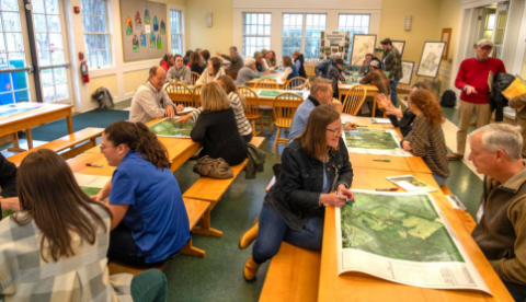
The Virginia Grassland Bird Initiative (VGBI) has worked with partners across three Regional Conservation Partnerships in Virginia to successfully build out a novel outreach approach that is accelerating the adoption of conservation best management practices in the region. Follow this link to learn more about VGBI’s Conservation Speed-Dating Workshops and download a guide to hosting an event in your region.
 Land Trust Alliance: Framework and Resources for Change
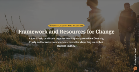
The Land Trust Alliance’s Framework and Resources for Change is a flexible, adaptable roadmap for personal and organizational use. A comprehensive tool for developing Diversity, Equity and Inclusion competencies, the framework is a resource for land trust staff and board members in the U.S.
 2022 National Survey of Fishing, Hunting, and Wildlife-Associated Recreation
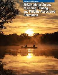
Every five years, the U.S. Fish and Wildlife Services publishes a survey about the participation rate of Americans in recreational activities, including hunting, fishing, and wildlife watching, and the economic impact of those activities. The section on wildlife watching begins on page 29 of the 2022 report.
 NBHCI Mapping Tool
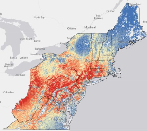
The Northeast Bird Habitat Conservation Initiative has launched an interactive mapping tool using eBird data designed to aid northeastern conservation practitioners and organizations in advancing conservation.
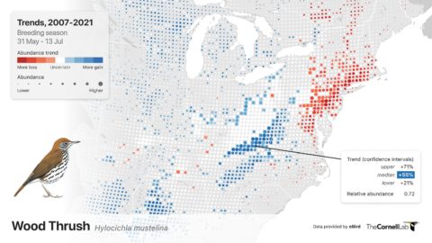
 eBird Status and Trends
See seasonal abundance patterns that reveal migratory pathways and when and where species occur as well as where bird populations are increasing or decreasing at local and regional scales. Building knowledge about status and trends will also help us answer questions about climate change, using birds as environmental indicators.
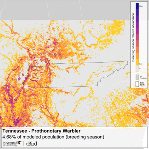
 State-level eBird Data Summaries
The eBird state-level data summaries are downloadable data products from eBird Status and Trends that provide summaries at a state level for relative abundance and population metrics. “Relative abundance” is defined by eBird as the count of individual birds of…
 eBird Abundance Maps
Abundance maps illustrate the relative abundance patterns of bird species throughout the year. For example, this information includes where a bird breeds, migrates, winters, or stays year-round. Abundance maps can be viewed for a bird’s full annual life cycle or…
 eBird Trip Reports
Looking for new ways to tell stories on your land? eBird Trip Reports are a great way for land trusts to engage the birding community and share birding stories.
With eBird trip reports, birders can compile their eBird checklists to make…
 Download eBird Data
eBird has open data access products available in several formats that can be helpful in your strategic conservation planning, scientific modeling, and analyzing data from your land trust hotspots. Note: You must have an eBird account and be logged in…


